
Electric Resistivity Surveys Foundation Mapping

Deep foundation mapping using advanced Electric Resistivity Tomography. Cavity/Void Detection
Geoelectrical investigation methods – Resistivity measurements are made by passing an electrical current into the ground through one pair of electrodes that are nailed to the ground. Current flow between these electrodes fans out through the ground in a pattern and intensity that depends on the conductivity of the ground and any stratification or obstacles that lie in the vicinity of the electrodes. Increasing the distance between electrodes increases and the penetration depth, revealing more and deeper information.
Electrical resistivity tomography (ERT)
Shallow geology exploration & mapping Upper bedrock surface depth profiling, Soil/Sediment stratigraphy profiling, Sand/Gravel exploration & mapping, Fault detection & mapping, Groundwater exploration & mapping, Oil Sands exploration & mapping, Shallow Gas exploration & mapping.
Electrical resistivity tomography (ERT)
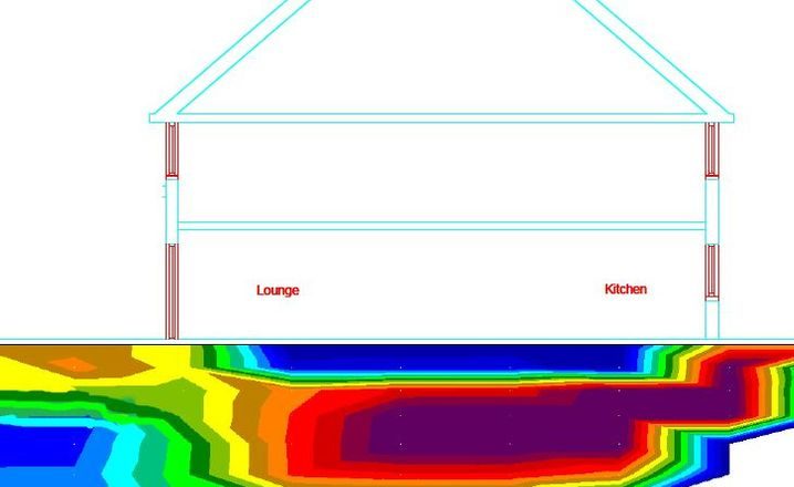
Or electrical resistivity imaging (ERI) is a geophysical technique for imaging sub-surface structures from electrical resistivity measurements made at the surface. Where high conductivity soils, like clay or salinity are present and GPR penetration is limited, then ERT is the solution

ERT Survey Sample
Vertical slice with clear findings at position 7 – 15 m and 0.8 – 4.5 m depth presence of archaeological object made of solid material, probably stone, is confirmed
